Holmside Solar Farm
About this Project
Holmside Solar Farm is a two-phase project near Stanley in County Durham, comprising a 50 MW battery energy storage system paired with 8.4 MWp of solar generation in Phase 1, and a further 61.6 MWp of solar in Phase 2.
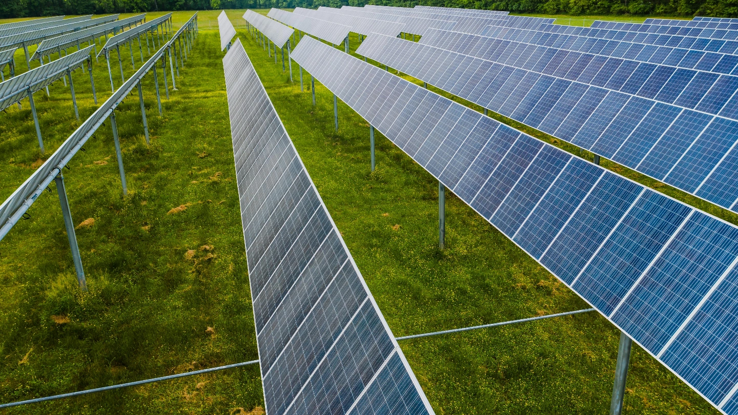
The project is developed by Empower Projects through its SPV Burhope Renewables Limited and connects directly to an existing 66kV National Grid overhead line at the southern boundary of the site. Originally consulted on as the Holmside Solar Farm, the project was renamed New Acres Solar following community engagement, reflecting the site’s identity at New Acres Farm. The development sits on Grade 4 agricultural land across seven fields within the historic Durham coalfield, a landscape now transitioning from its industrial heritage toward clean energy generation.
Planning Status and Milestones
Planning Approval
Planning has not yet been submitted. A planning application to Durham County Council was anticipated from October 2024, with preparation of the Environmental Statement and pre-application consultation underway.
Advanced Planning Stage
Land for additional solar has been identified for Phase 2.
Connection Details
Phase 1 secures a 27 MW / 49.9 MVA connection to an existing 66kV National Grid overhead line at the site’s southern boundary, with a new substation to be constructed on-site or adjacent. Export capacity is 49.9 MVA with 52.5 MVA import. Connection cost is £4.47 million for Phase 1, with Phase 2 subject to a modification application to the grid offer. The DNO is Northern Powergrid. A connection agreement has been secured with National Grid for the 27 MW grid connection.
Site and Surrounding Area
The project is located approximately 1.4km south of Stanley, a market town in the northwest Durham coalfield region. Chester-le-Street lies 5km to the east, Durham City approximately 10km south, and Consett 8km west. The site is accessed via Green Lane and Newacres Road from the A693. The landscape reflects the Durham coalfield’s industrial heritage, with former colliery sites, spoil heaps, and regenerated green spaces characterising the broader area. Ecological features of note in the surrounding landscape include Chapman’s Well Local Nature Reserve, Green Croft and Langley Moor SSSI, and Hag Wood ancient woodland. An operational wind farm is visible on the surrounding ridgeline.
Current Status
Planning
Land for additional solar has
been identified for Phase 2.
Land
Option Signed (Ph.1,
Being Amended)
Grid Offer
Offer Accepted
(Ph.1)
Development Phases
| Phase | Phase 1 | Phase 2 | |
|---|---|---|---|
| Solar (MWp) | 8.4 MWp | 61.6 MWp | |
| BESS (MW/Hr) | 50 MW / 2 Hr | - | |
| Wind (MW) | - | - | |
| Grid AC | 49.9 MVA | - | |
| Connection | 2036 | 2036 (Subject to Modification) |